Mapping And Field Techniques in Geography
2024-09-06
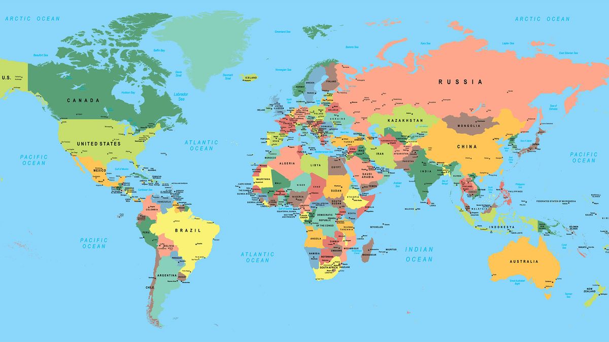
Mapping and field techniques in geography involve methods like GPS for location accuracy, surveying for measurements, and remote sensing for data collection. Mapping creates visual representations like topographic maps and GIS maps for analysis, aiding in
Mapping and field techniques in geography involve methods like GPS for location accuracy, surveying for measurements, and remote sensing for data collection. Mapping creates visual representations like topographic maps and GIS maps for analysis, aiding in understanding spatial patterns and making informed decisions in resource management and urban planning.
DownloadFiletype: 3GP - Size: 6 MB - Duration: 6:51m (129 kbps 48000 Hz)
Powered by Podcast Generator, an open source podcast publishing solution | Theme based on Bootstrap